
Queen Tamar's Bridge & Makhuntseti Waterfall from Batumi
Queen Tamar's Bridge and Makhuntseti Waterfall near Batumi: distance, driving directions, bridge history, and what else to see nearby.
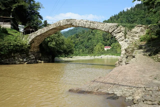
About 19 miles (30 km) from Batumi, near the village of Makhuntseti, two landmarks sit almost across from each other: a stone arch bridge nearly 900 years old and one of the tallest waterfalls in Adjara. The drive takes 40–45 minutes, entry is free, and both sites can be covered in a couple of hours.
Getting There
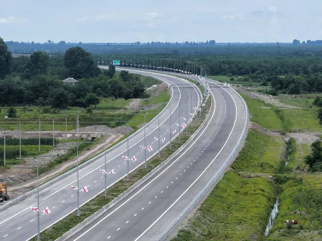
From Batumi, head east on the highway toward Keda and Khulo. The same road continues further into mountainous Adjara, all the way to the Goderdzi Pass. The pavement is in good condition the entire way to Makhuntseti, and a signpost right on the highway marks the turnoff to the bridge and waterfall.
By rental car, the drive to Makhuntseti takes about 40 minutes with no stops, which makes it the most predictable way to get there. Minibus #77 from Batumi's bus station also runs to Keda, takes roughly 40 minutes, and costs about 1.5 GEL (around $0.55), but it runs on its own irregular schedule and stops in the evening. Taxis get you there quickly, but flagging one down for the return trip from Makhuntseti isn't always straightforward. If the day includes other stops in mountainous Adjara, such as Mirveti Waterfall or a winery along the way, having a car removes the guesswork of timing everything around a minibus and leaves the itinerary flexible.
Queen Tamar's Bridge
The stone arch bridge spans the Acharistskali River without a single support in the riverbed. It's built as a single arch, 95 feet (29 m) long and 20 feet (6 m) above the water, with a width of 8 feet (2.5 m). About 25 similar bridges survive across Adjara, but this one is considered the largest and best known.
The stones are held together with lime mortar, no metal, no modern reinforcement. The bridge has withstood repeated earthquakes and is still used as a footpath today. There are no railings, so it's worth crossing carefully, especially with kids. A sandy riverbank sits just below the bridge, where locals and visitors swim and paddle in summer.
History and Legends
The bridge is officially dated to the 11th–13th centuries, the reign of Queen Tamar, and its name comes directly from her. According to legend, several similar crossings, including Makhuntseti, Dandalo, and Purtio, were built almost simultaneously on the queen's order: workers and materials were mobilized near Khikhani Fortress, and the finished bridges spread across mountainous Adjara. Tamar was so beloved that, over time, her name attached itself to nearly any old bridge or spring in the region, not only the ones actually built during her reign.
Historians take a more cautious view of the dating. Researcher Shalva Varshanidze, who studied the roads and bridges of Adjara, traces this style of arch bridge back to the 4th–5th centuries, when the region was part of the Kingdom of Kartli, built by local Iberian and Meskhetian stonemasons rather than royal builders of the 12th century. Other theories exist too. Traveler and researcher Tedo Sakhokia argued that bridges of this type in western Georgia were built by Venetian or Genoese masons, pointing to a similar structure near Sukhumi known as the "Venetian bridge." A third theory credits Byzantine builders, since a trade route ran along the coast and up into the mountains roughly fifteen centuries ago, and routes like that needed reliable crossings.
The bridge's shape isn't just decorative. The Acharistskali floods in spring and after heavy rain, and any support placed directly in the riverbed would have been swept away by the first serious flood. A single-span arch holds itself up through the compression of stone against stone and needs no pier in the water at all, which is why this design outlasted centuries of earthquakes and floods that damaged more complex bridges. The bridge itself sat on an old caravan route linking the coast with Adjara's mountain districts, so it was a working crossing for people and cargo, not a monument.
A few more facts about the bridge:
- Of the roughly 25 surviving arch bridges in Adjara, the Makhuntseti bridge remains the best known and most visited, even though it isn't considered the most architecturally elaborate of the group.
- Several similar bridges in mountainous Adjara were badly damaged by a major flood in the late 19th century and didn't survive. The Makhuntseti bridge did.
- The last major restoration took place in 2008; before that, the structure was reinforced several times to preserve its original form without adding modern supports.
- Bridges of this type in Adjara are almost always "humpbacked": the curved profile helps distribute weight and keeps the arch from taking the full force of floodwater from above.
Makhuntseti Waterfall
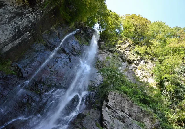
400–500 meters (roughly a quarter mile) from the bridge, across the road, is the waterfall itself. Water drops about 98 feet (30 m) into a stone basin, surrounded by damp forest, and the spray is noticeable a good 65 feet (20 m) before you reach it. A short trail leads uphill from the parking area, a 10–15 minute climb.
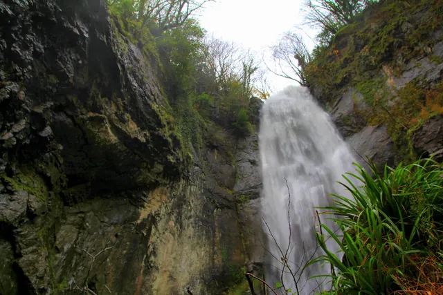
In summer, the river level drops and rocky patches open up at the base of the waterfall where visitors swim. In spring and after rain, the flow gets noticeably stronger and colder, making swimming less comfortable but the waterfall itself more dramatic. A café serving Georgian food and stalls selling churchkhela, honey, and homemade jam operate nearby.
What Else Is Nearby
The village of Makhuntseti has a small open-air ethnographic museum. Some exhibits, including a stilt house once used to store vegetables safely, stand outdoors, while others are displayed indoors. Admission is under $1. From the bridge, it's a short walk to the museum along the paved road, bypassing the park, for anyone not heading straight back to the car.
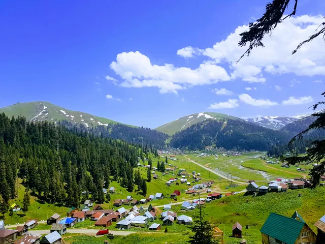
If the day's route through mountainous Adjara continues, Mirveti Waterfall with its own medieval bridge lies further along the same highway, and the road to Goderdzi Pass and Khulo begins a bit higher up. By car, these stops connect into a single day without waiting for transport or switching between rides.
Worth Knowing
Queen Tamar's Bridge and Makhuntseti Waterfall make for a compact stop that doesn't require an early start or special preparation. The road from Batumi is paved and easy to follow, entry is free at both sites, and having a car right at the location means no transfers and no working around a minibus schedule. For a full day exploring mountainous Adjara, an early departure leaves enough time for nearby waterfalls and the drive back before dark.